Outdoor Fun in the Southwest Logo

The Ultimate Day Trip: Las Vegas to Death Valley

  1. Home
  2. »
  3. Day Trips
  4. »
  5. Ultimate Day Trip Las Vegas to Death Valley

# A Day Trip from LAS VEGAS to DEATH VALLEY and how it all began..

Are you dreaming of going to Death Valley? You’ve come to the right place! Join us on our ultimate Day Trip LAS VEGAS to DEATH VALLEY NATIONAL PARK in California, where you can explore the toastiest and driest corner of North America.

In the scorching summer, temperatures can soar up to a scalding 120°F (49°C). Fun fact: Furnace Creek holds a world record for the highest-ever temperature of 134°F (57°C) recorded on July 10, 1913.

Though we didn’t take many notes or photos during our May 2016 visit, as we hadn’t planned to write a blog, we’ve got you covered with a quick guide to help you navigate your one-day trip. Keep an eye out for our future blogs that will delve deeper into hiking and camping details.

# LIFE AS A FLIGHT ATTENDANT, A thrilling beginning..

Flight Attendant Condor Airlines Day Trip Las Vegas Death Valley

Looking back, I cherish my days as a flight attendant for Condor Airlines. It was a season full of exciting travels, and my first real outdoor adventure began in the buzzing city of Las Vegas. Being an airline staff member has its perks, particularly when it comes to globetrotting. However, it’s crucial to know that not all airlines extend the same benefits to their employees. Some limit their flight attendants to domestic flights, allowing them to return to their own cozy beds after a day’s work.

Condor Airlines was unique. As an international airline, we had the chance to discover some of the world’s most intriguing spots. After each lengthy flight, we enjoyed a few days to relax and explore our destination. And the cherry on top? We got to pick our preferred destination every month!

For me, Las Vegas became an instant favorite. The lively city never failed to offer something fresh and thrilling, and I always looked forward to my next visit.

# LAS VEGAS LAYOVER – The beginning of an Adventure

Once we landed in Las Vegas, we headed to our hotel. Airline crews often meet up post-flight to share plans and stories. My good friend and pilot, Katja, had rented a car for a day trip to Death Valley.

As a passionate traveler and nature lover, I didn’t think twice about joining her when she asked. I’ve always been drawn to road trips and national parks, where I can soak in the stunning views and make some photographic memories.

Yet, this Las Vegas journey was a first of its kind for me.

 # DIRECTIONS Day Trip LAS VEGAS – DEATH VALLEY 

Planning a day trip from Las Vegas to Death Valley?

You can choose between two routes: US-95 or NV160.

We decided to take the picturesque NV160 via Pahrump for a memorable experience.

Click the map for directions from your location and embark on your adventure now!

# Photo stops along the road on our Las Vegas – Death Valley Day Trip

While traveling to Death Valley, we couldn’t resist stopping several times to capture the mesmerizing landscape.

We stumbled upon intriguing Alien Signs as we approached Area51 and, as tourists, we couldn’t resist snapping a few photos.
Our journey also took us to the Death Valley Hillside letters and the “we are in California” sign.

Spotting the “Pilot Follow Me” truck brought a smile to our faces, as Katja, being a pilot, felt a special connection.

By hovering over the pictures, you’ll find clickable coordinates that open a map on a new page.
Please note that since we didn’t plan a blog during that time, the coordinates might not be exact but should be quite close.

# SAFETY FIRST !!!

Upon entering Death Valley, we also encountered a sign displaying vital safety tips. Little did we know, we might have saved two tourists’ lives that day.

Two visitors from Europe seemed to have overlooked that sign or underestimated the potential risks, and they were very lucky to stumble upon us…

With scorching temperatures, it was nearly impossible to stay outside for long. We briefly stepped out of the car for some pictures but quickly sought refuge in the cool comfort of the air conditioning. As we explored, we noticed warnings about soft sand and encountered only very few other people on the road. At one point, we came across signs indicating an upcoming road closure due to construction. Most people would have turned around there already, but we wanted to keep exploring as far as we could.

# Always travel prepared !

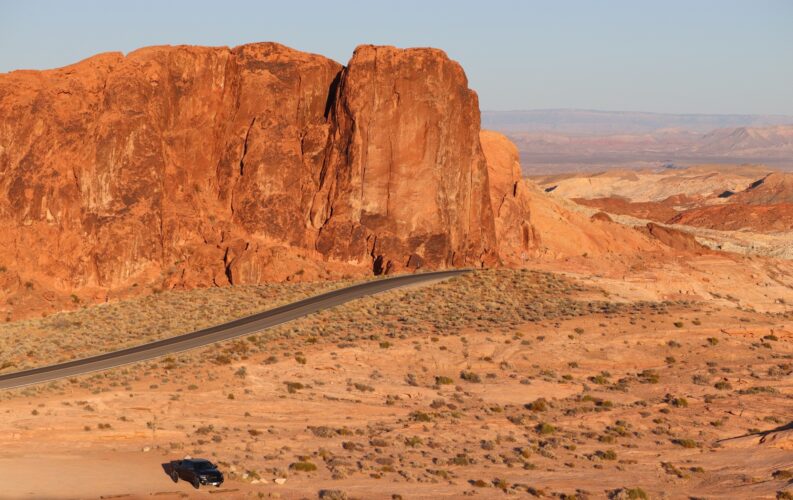
Suddenly, an older man appeared before our car, his face beet-red and filled with distress.

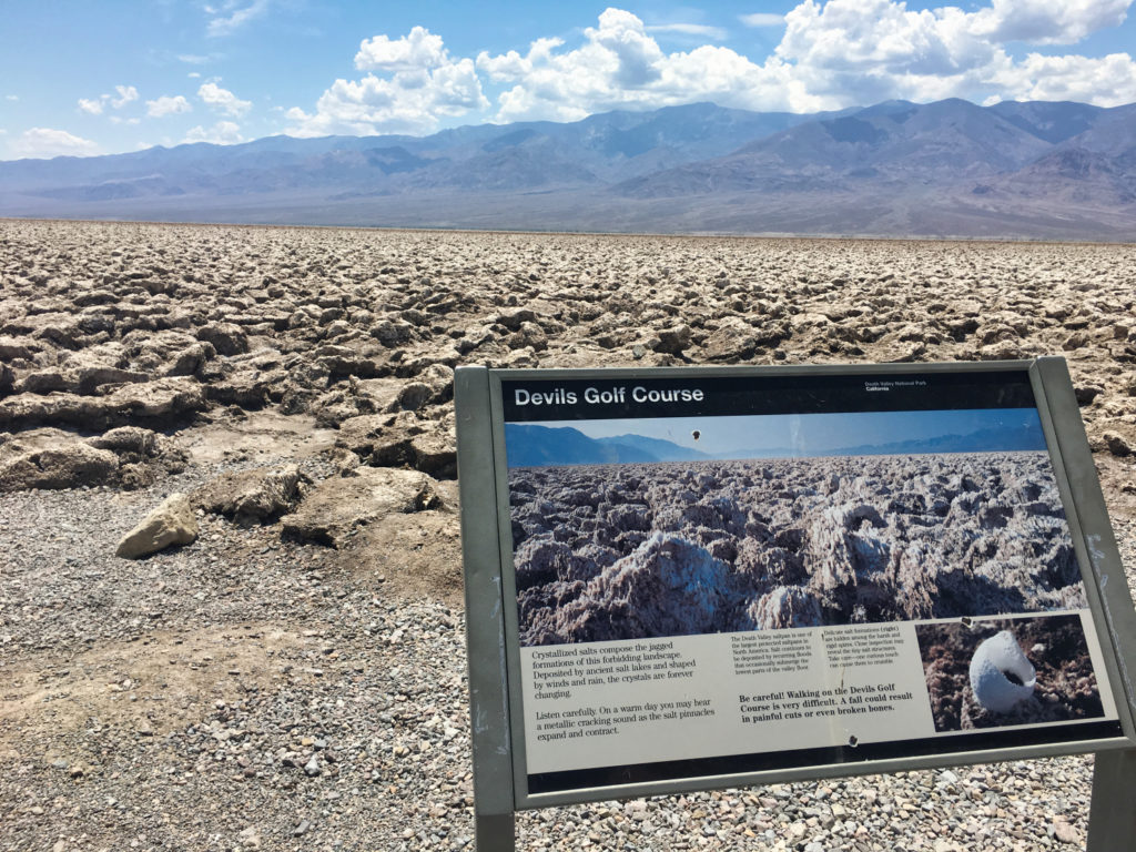
Initially, our instinct was to secure our vehicle, but it soon became clear that this man was in desperate need of help. He informed us that he and his wife had gotten their 4×4 stuck in the soft sand while off-roading. The relentless heat had left them feeling hopeless.

# Take enough water with you !

The unfortunate couple had limited resources—only half a bottle of water and a bag of chips.

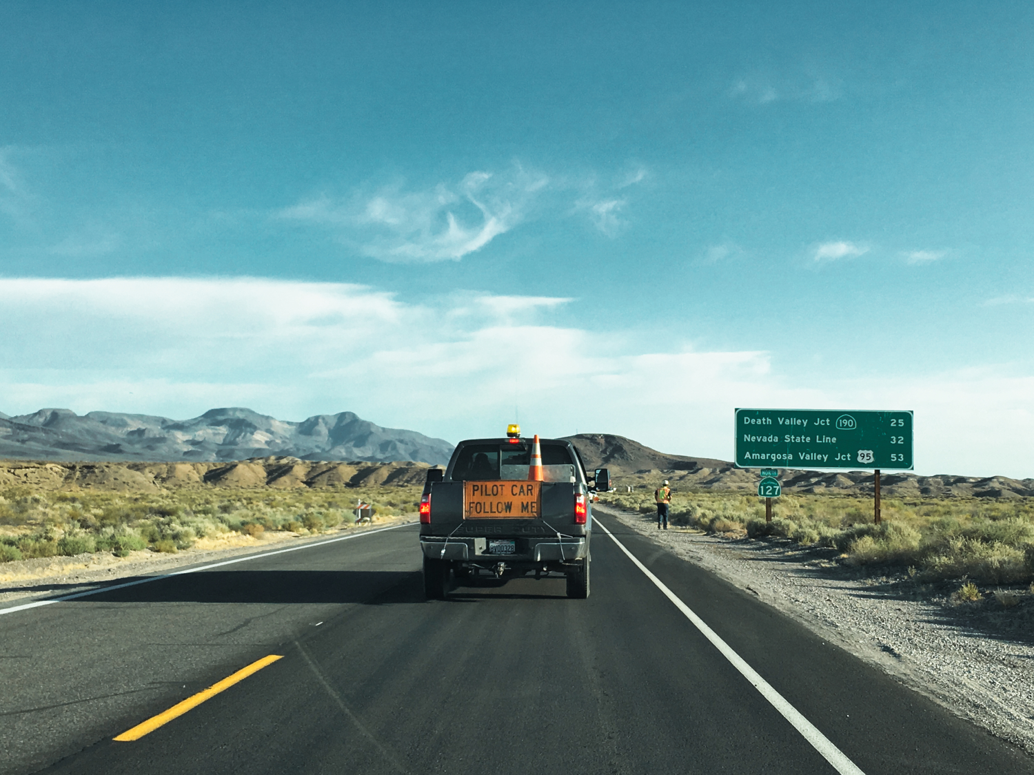
They had been walking in the scorching heat for a considerable time before stumbling upon us. While they were fortunate to find their way back to the road and receive assistance, not everyone is as lucky.
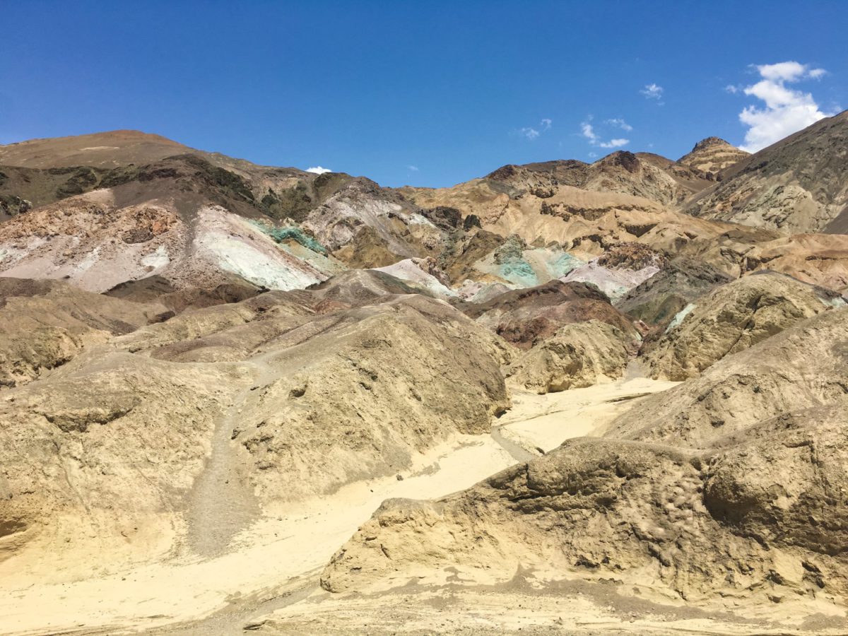
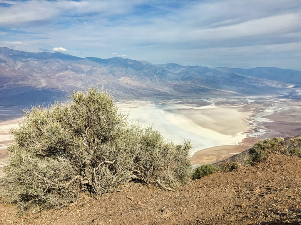
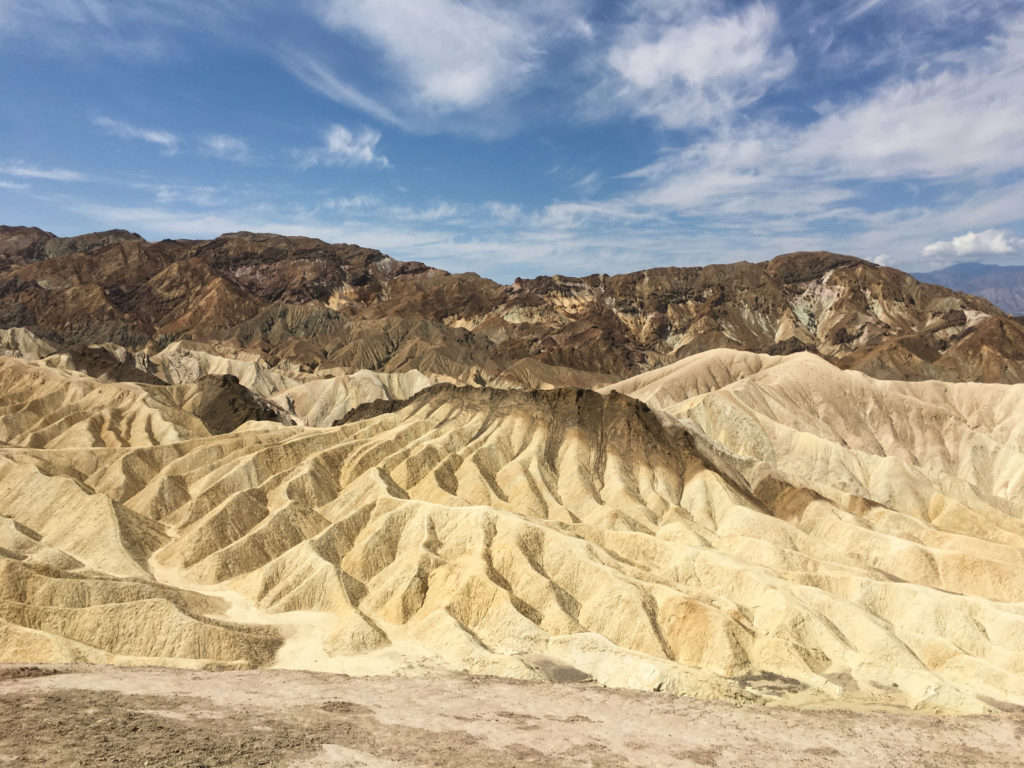
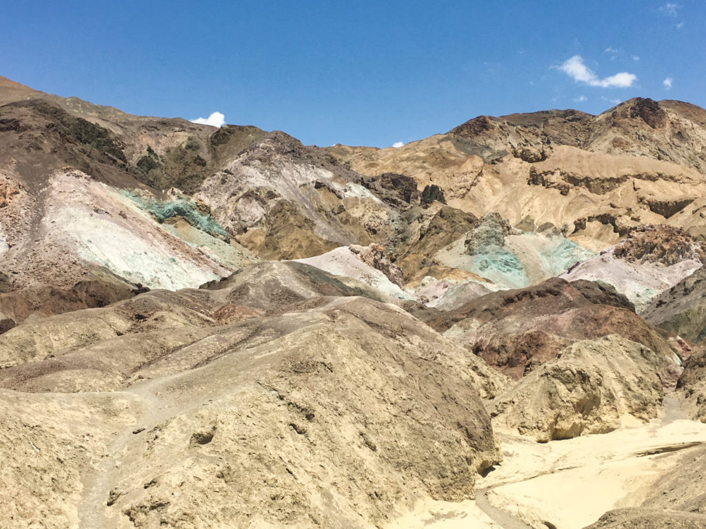
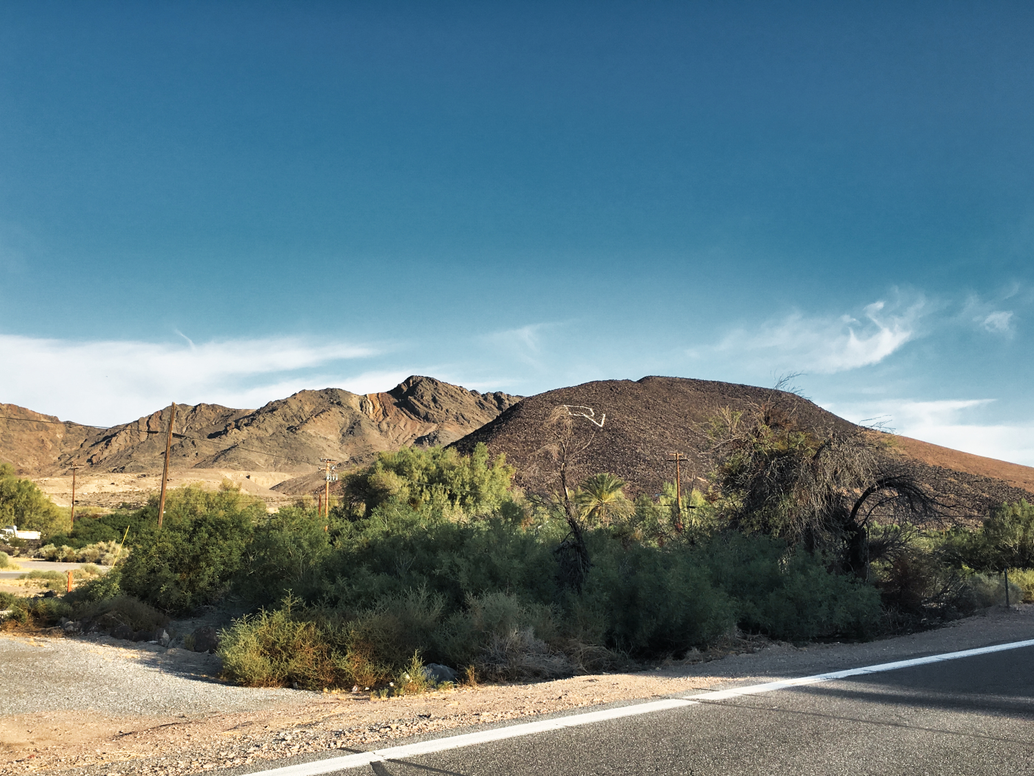
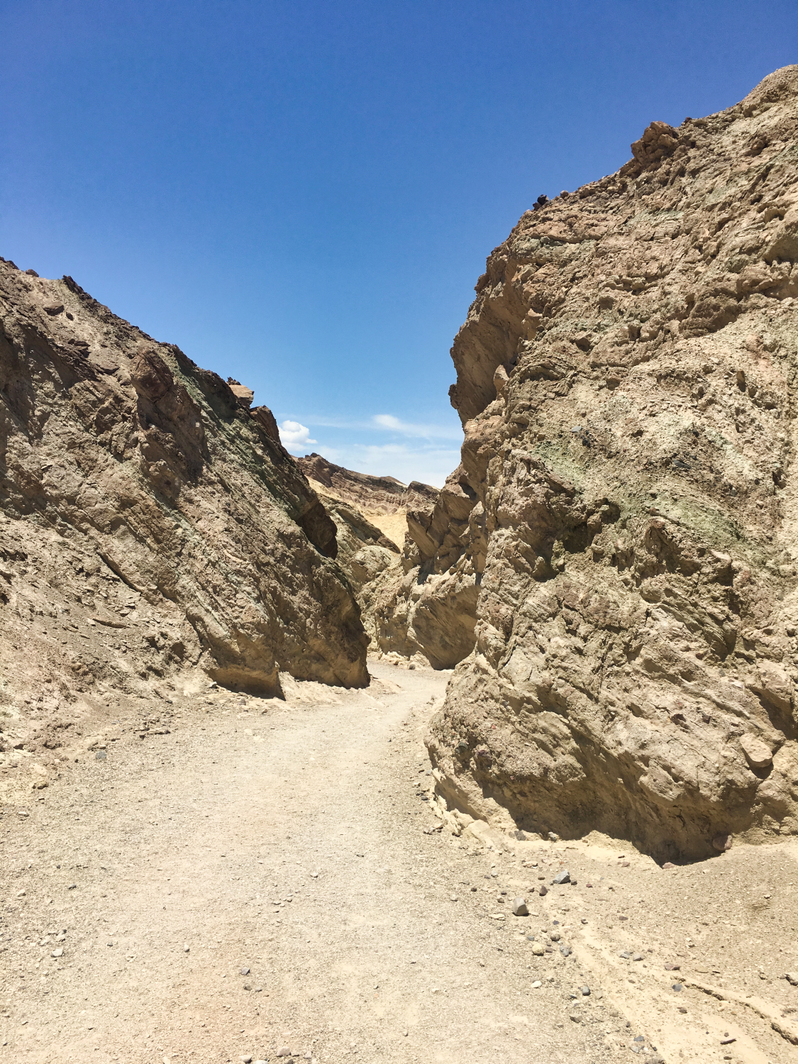
pay attention signWhen traveling, especially in places like Death Valley, it is crucial to be prepared. Ensure you have an ample supply of water and food, and remain vigilant of potential dangers or warning signs.

We always take electrolyte blocks with us, like the Salted Watermelon Clif Bloks and snacks, like Trailmix Nuts.

Click HERE for Death Valley PARK ALERTS !!

Always check park alerts & conditions for more information before visiting any park!!

# DEATH VALLEY IN ONE DAY

# Will a day trip be enough?

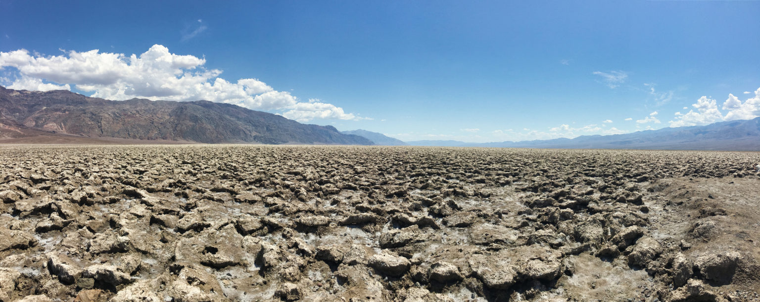
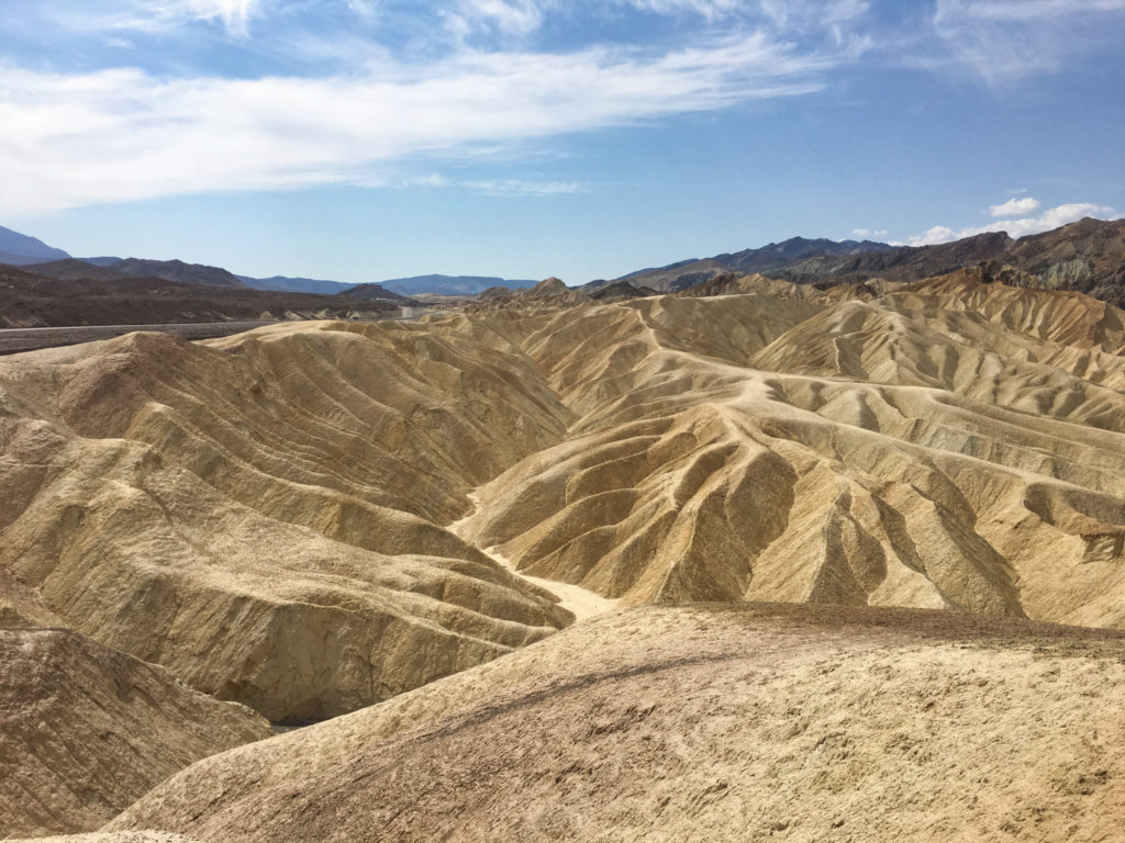
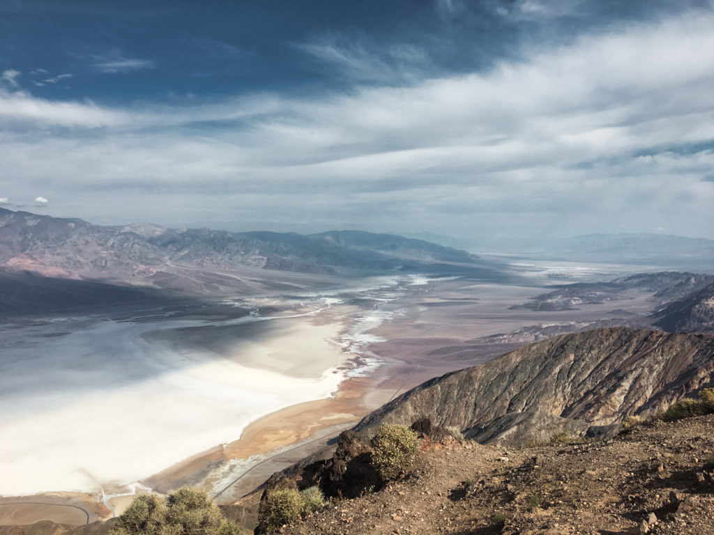
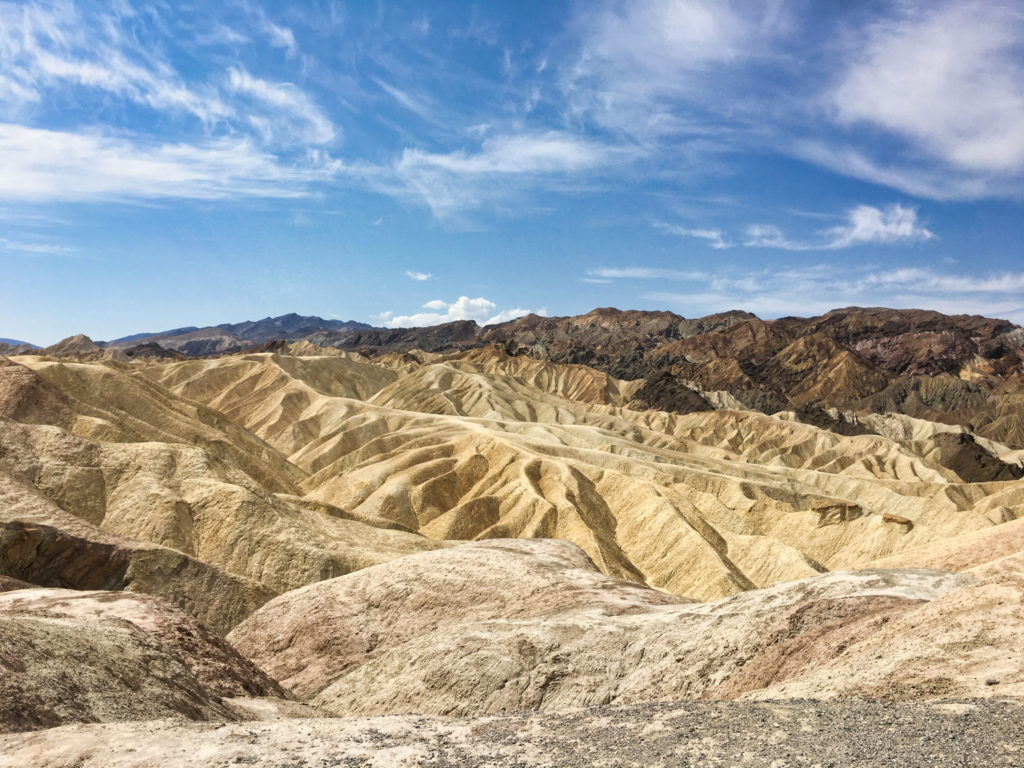
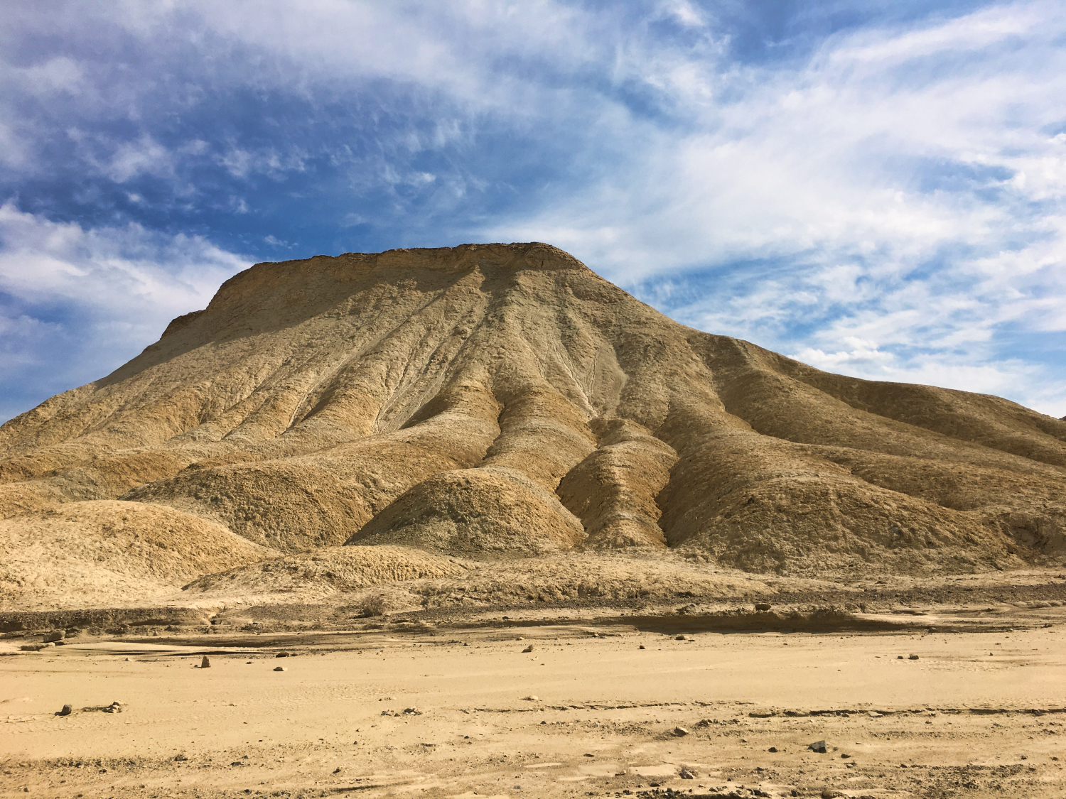
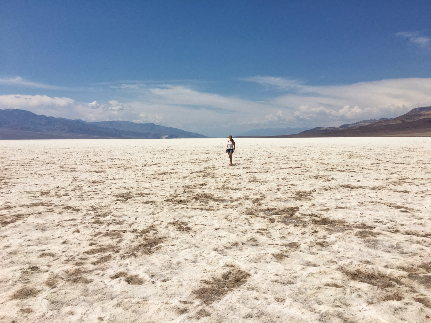
Death Valley is the largest national park in the lower 48 States, with nearly 1,000 miles of roads providing access to both popular and remote locations within the park.

In other words, if you want to see everything, a day trip from Las Vegas may not suffice. However, if you have limited time like us, our little road trip can help you create your own experience.

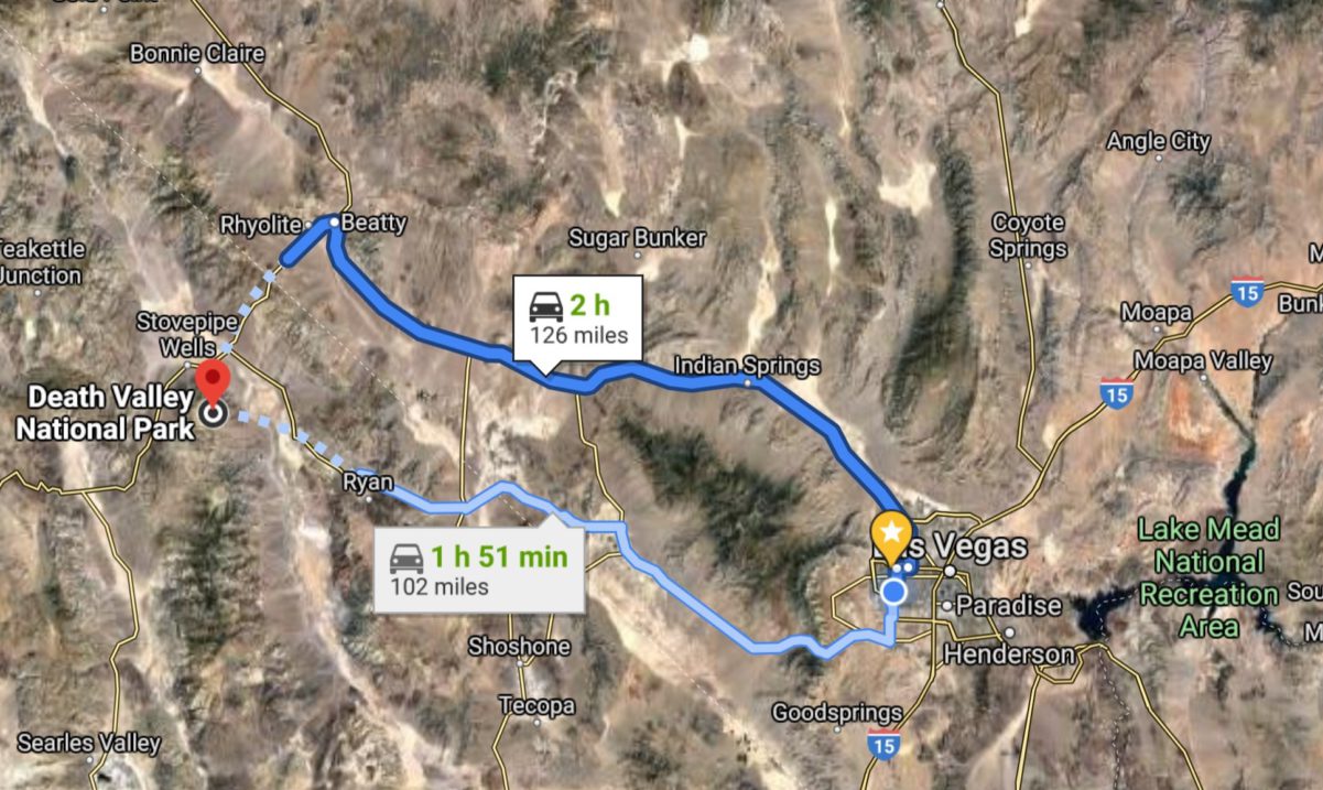
On the map, you can view all the locations where we stopped during our Death Valley Day Trip.

Don’t forget to take a paper map with you!

We like this one a lot: Death Valley National Park Map. Cell Service might be scarce, so having a backup is smart. A good old-fashioned map ensures smooth navigation on your day trip from Las Vegas to Death Valley. It’s a simple solution for a worry-free adventure.

# DANTE'S VIEW

Starting from the eastern entrance, our journey took us to Dante’s View, an extraordinary overlook perched at a staggering height of 5,476 ft (1,669 m) in the Black Mountains. Just a short stroll from the parking lot, Dante’s View offers breathtaking panoramic vistas of Death Valley.

# Nice to know

Dante’s View, nestled within the captivating Black Mountains, was formed as the Earth’s surface experienced stretching forces, causing the crust to rupture. This led to volcanic eruptions and the subsequent layering of lava over the underlying sedimentary rock.

Directly beneath Dante’s View, you will find Badwater Basin, which happens to be the lowest point in North America.

For the best experience, visit Dante’s View in the cooler morning hours when the sun is still in the east.

# Zabriskie Point

Zabriskie Point Trail Day Trip Las Vegas Death Valley

From Dante’s View, we drove to Zabriskie Point via Twenty Mule Team Road. It was just a short walk to witness the spectacular views from Zabriskie Point.

Zabriskie Point offers an amazing panorama of the badlands, where yellow and brown striped hills have been shaped by earthquakes, volcanic activity, and water. Even during dry periods, the path carved by water remains unmistakable.

# NICE TO KNOW

The mines in this region, along the northern foothills of the Black Mountains, were established in the early 1900s by prospectors looking for borax and gypsum

# LUNCH TIME

At some point we got hungry and had a quick lunch at the Corkscrew Saloon. While the food was decent, it’s challenging to provide a detailed review as it was quite some time ago. Besides, the restaurant is closed now according to YELP. According to other travelers  Stovepipe Wells Restaurant & Saloon is a good alternative. Or, closer to the restaurant where we ate: The Last Kind Words Saloon

# Golden Canyon to Red Cathedral Hiking trail

For the most part during our Death Valley day trip, we stayed in the car. But, in spite of the extreme heat, we did decide to hike a shorter trail. In order to see the famous “Red Cathedral”, we kinda had to. After hiking through a narrow portion of the Golden Canyon, the canyon widened and revealed the imposing Red Cathedral. The photos we took don’t really do the impressive Red Cathedral justice.

# NICE TO KNOW

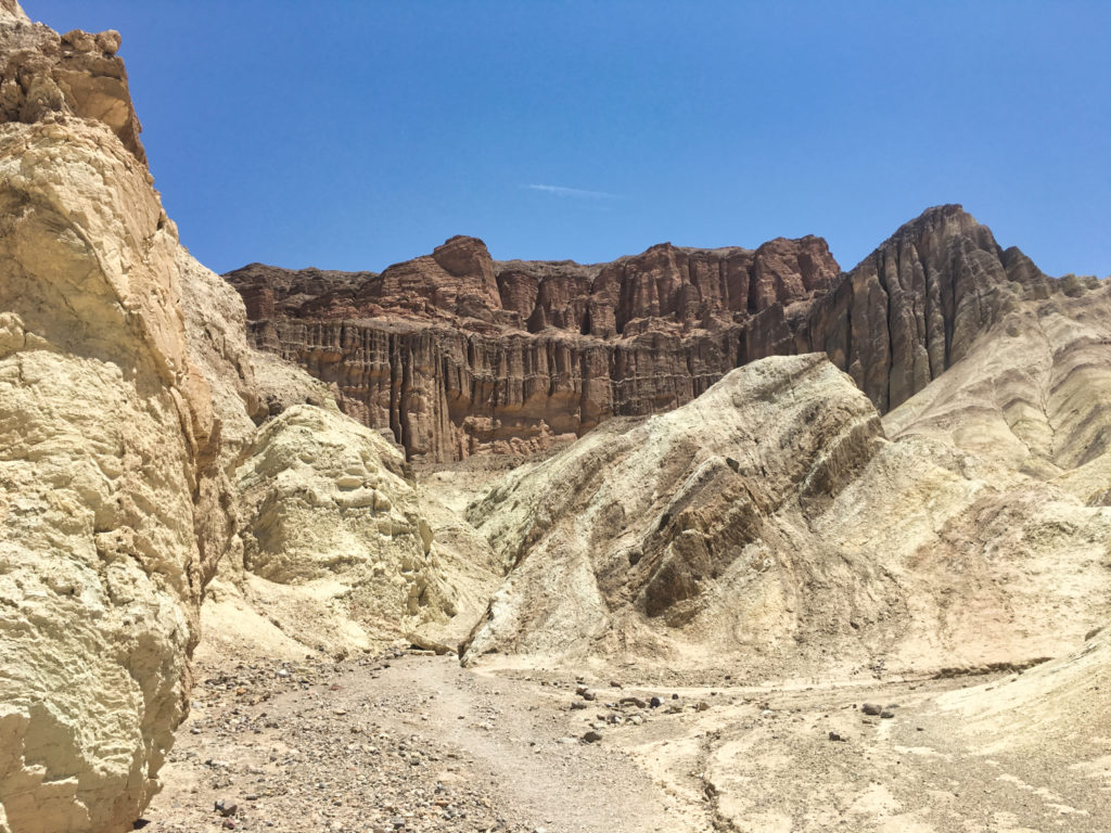
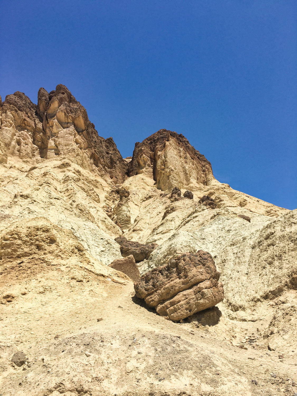
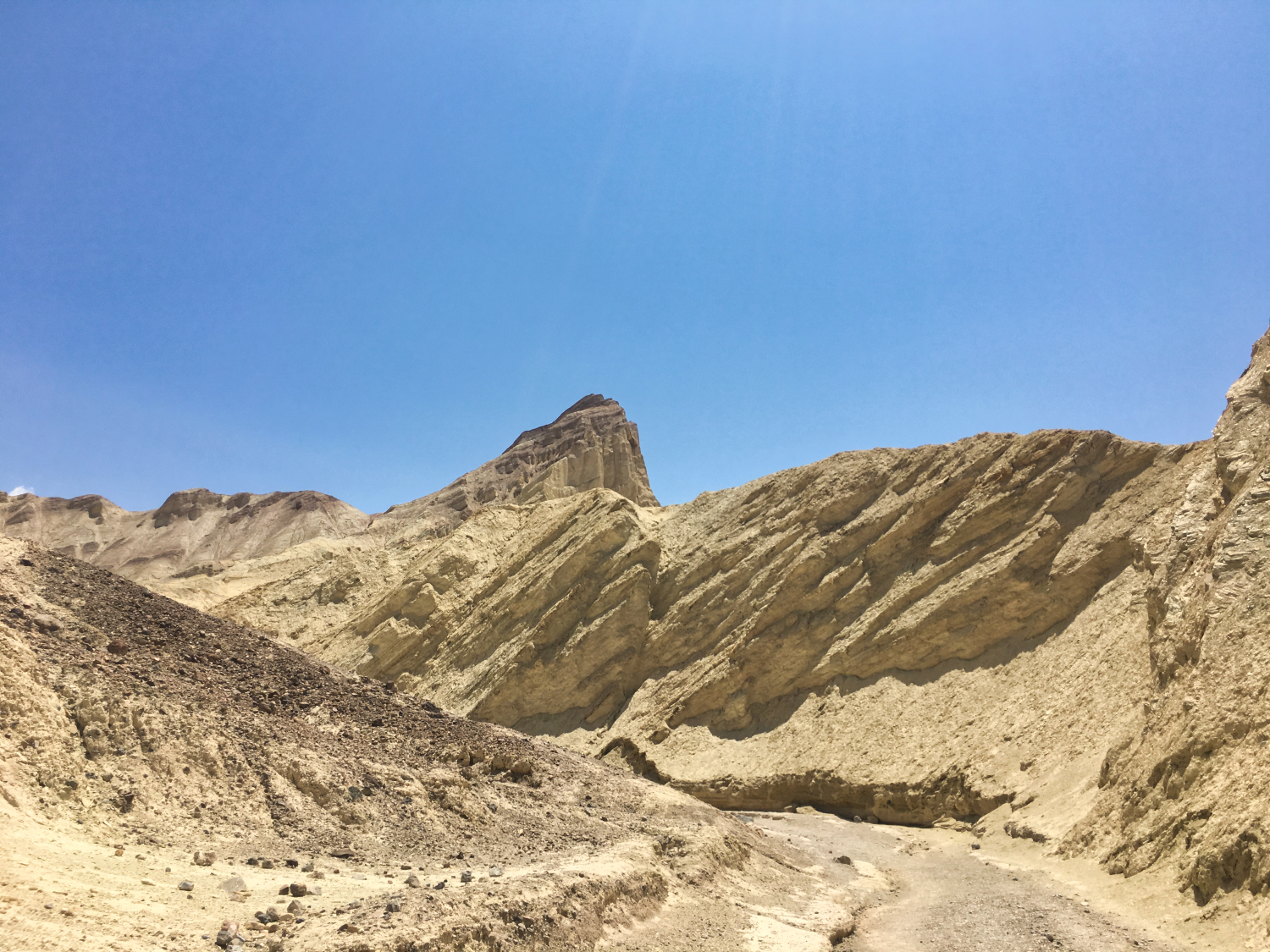
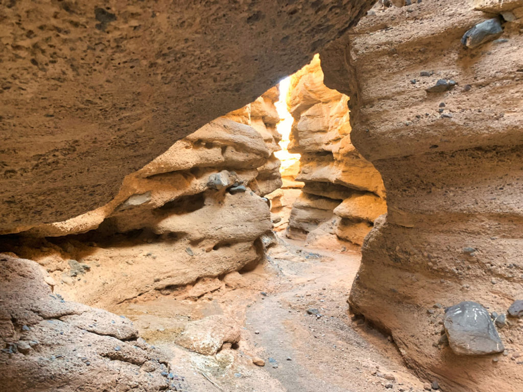
Good time to hike : in the afternoon so that the sun is setting on Red Cathedral when you arrive. At that time there will be more shade and the color of the Red Rocks is beautiful. (bring flash lights for the way back)

# TRAIL INFO 

Length: 3 miles (4.8 km) out and back trip
Time: 1.5 to 2 hours round trip
Difficulty: Moderate
Elevation: 577 ft (176m)

restrooms Vault toilet at Golden Canyon parking lot.

# ARTIST'S PALETTE

Artist's Palette Death Valley

Next photo stop : Artist’s Palette.
Artist’s Palette is one of the most photographed spots in Death Valley National Park. 

# NICE TO KNOW

The vibrant colors are caused by the oxidation of different metals (iron compounds produce red, pink and yellow, decomposition of tuff-derived mica produces green, and manganese produces purple).

Lat : 36.363544 Long : -116.802544

# Devil's Golf Course

Devil's Golf Course Death Valley
Devil's Golf Course

Due to the extreme temperatures and limited time, our visit to Devil’s Golf Course was brief.

# NICE TO KNOW

This vast salt pan on the floor of Death Valley earned its name from a 1930s guidebook that humorously stated, “Only the devil could play golf on such a surface.”

Be careful when you walk here, as the ground is sharp!

# badwater basin

Last but not least, we stopped to take photos at Badwater Basin.

By then, it was almost too warm to leave the car, so we decided to drive back afterward.

# NICE TO KNOW

Badwater Basin is the lowest point in North America at 282 ft (86 m) below sea level. The salt flats are composed mostly of sodium chloride (table salt), along with calcite, gypsum, and borax. 

Badwater Basin Las Vegas Death Valley Day Trip

# The Ultimate Day Trip: Las Vegas to Death Valley MEMORIES

"I hope you had fun reading my first blog. I would love to hear your thoughts: too much or little text; more or less pictures etc. Please let me know if there is anything you would or wouldn't like to see here"
CINDY VAN DER VELDE - COCKRELL
Outdoor Fun in the Southwest Blogger and Photographer

MORE OUTDOOR FUN :

Most Pictures On This Website Are Available As Prints

– featured photos –

You can support us by getting a PRINT of your favorite
Outdoor Fun in the Southwest Photo
HERE:

MORE OUTDOOR FUN :